Start Point

Seefeld Railway Station

End Point

Seefeld Railway Station

Difficulty

Easy

Total Distance

11,80 km

Descent Meters

250 m

Ascent Meters

250 m

Highest Point

1340 m

Total Time

03:30 h

Status

Open

Map & Elevation Profile

Start Point

Seefeld Railway Station

End Point

Seefeld Railway Station

Difficulty

Easy

Total Distance

11,80 km

Descent Meters

250 m

Ascent Meters

250 m

Highest Point

1340 m

Total Time

03:30 h

Status

Open

Hiking

Best Time

Open

Jan

Feb

Mar

Apr

May

Jun

Jul

Aug

Sep

Oct

Nov

Dec

Winter walking

Hut Winter Hikes

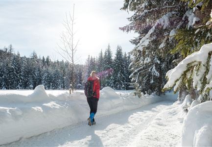
This is a cleared winter hiking trail. However, icy or slippery spots may still occur.

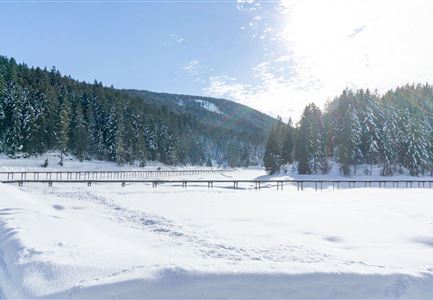
The tour starts directly at Seefeld train station and first leads through the lively pedestrian zone. In winter, a charming Christmas market here invites you to linger before or after your hike. The route then continues to the Seekirchl, Seefeld’s landmark.

From there, the trail runs through the Kirchwald settlement towards Wildmoosalm and Brunschkopf (Trail No. 2) and begins with an ascent. Shortly after, you reach the Hörmannweg, which you follow comfortably through the shady forest.

At a fork in the path, keep right and continue towards Wildmoosalm. After a pleasant walk along this forest trail, you reach the Wildmoosalm – an ideal place for a break. If you find it so cozy that you’d rather not hike back, you can also take the bus back to Seefeld (please note the seasonal bus schedule). The route then leads steadily downhill through the idyllic Fludertal and continues along a romantic forest path to Neuleutasch, where Gasthof Neuleutasch awaits as another stop for refreshments. From Neuleutasch, the

Features & Characteristics

Start Point

Seefeld Railway Station

End Point

Seefeld Railway Station

Family-friendly

Yes

Loop tour

Yes
Similar Tour Suggestions

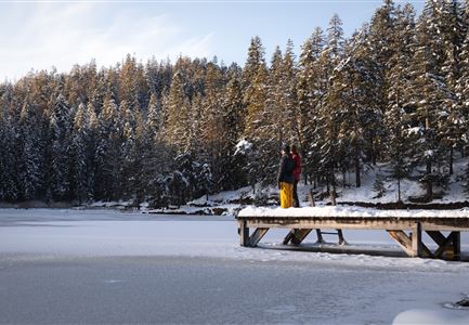
Winterwandern Paar Möserer See Paar steht auf Steg Seitenperspektive.jpg

Hiking

W27: Winter circular hike Möserer See

Length

3,50 km

Duration

01:15 h

Uphill

96 hm

Downhill

100 hm

Altitude

1297 hm

Difficulty

Easy

Open
100000 Lichter-Weg Seefeld_Paar steht auf Pfarrhügel_Reither Spitze in der Distanz.jpg

Hiking

100.000 Lights Path

Length

1,70 km

Duration

00:30 h

Uphill

30 hm

Downhill

39 hm

Altitude

1206 hm

Difficulty

Easy

Closed
Ropferstubm in Buchen bei Mösern - Ausblick

Hiking

W26: Winter Hike from Mösern to the Ropferstub'm

Length

12,20 km

Duration

04:00 h

Uphill

330 hm

Altitude

1314 hm

Difficulty

Easy

Open
Winterwandern in der Region Seefeld_Mann und Frau laufen wandern im Wildmoos_Aufnahme von hinten mit verschneiten Ästen im Vordergrund (1).jpg

Hiking

W28: Winter Circular Hike Mösern-Wildmoosalm-Lottenseehütte

Length

11,00 km

Duration

03:15 h

Uphill

221 hm

Downhill

222 hm

Altitude

1366 hm

Difficulty

Easy

Open
Oberer Wiesenweg im Frühwinter_Paar läuft auf Wanderweg_Blick auf Stadl und Hohe Munde.jpg

Hiking

W17: Winter circular hike on the Wiesenweg

Length

6,20 km

Duration

01:45 h

Uphill

61 hm

Altitude

1193 hm

Difficulty

Easy

Open
Weidachsee im Winter

Hiking

W9: Winter circular hike around Weidachsee lake

Length

3,80 km

Duration

01:00 h

Uphill

46 hm

Altitude

1156 hm

Difficulty

Easy

Open
Leutasch - Winterwanderweg 15 Katzenloch-3.jpg

Hiking

Stage 2: From Scharnitz to Seefeld – Seefeld High Plateau Winter Multi-day Hike

Length

12,00 km

Duration

03:30 h

Uphill

270 hm

Downhill

50 hm

Altitude

1180 hm

Difficulty

Easy

Open
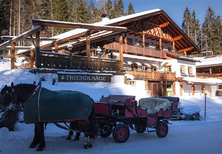
Triendlsäge im Winter - Gebäude mit Pferdekutsche.jpg

Hiking

W4: Winter Circular Hike Seefeld - Triendlsäge

Length

7,50 km

Duration

02:15 h

Uphill

147 hm

Altitude

1198 hm

Difficulty

Easy

Open