Start Point

Parking lot P18 'Munde'

End Point

Parking lot P18 'Munde'
Difficulty

Medium

Total Distance

5,00 km

Descent Meters

424 m

Ascent Meters

418 m

Highest Point

1602 m

Total Time

03:00 h

Status

Open

Map & Elevation Profile

Start Point

Parking lot P18 'Munde'

End Point

Parking lot P18 'Munde'
Difficulty

Medium

Total Distance

5,00 km

Descent Meters

424 m

Ascent Meters

418 m

Highest Point

1602 m

Total Time

03:00 h

Status

Open

Hiking

Best Time

Open

Jan

Feb

Mar

Apr

May

Jun

Jul

Aug

Sep

Oct

Nov

Dec

Winter walking

Hut Winter Hikes

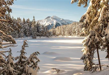
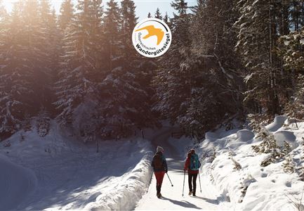
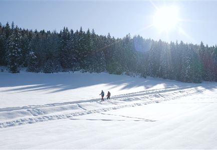
This is a cleared winter hiking trail. However, icy or slippery spots may still occur.

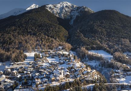
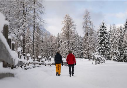
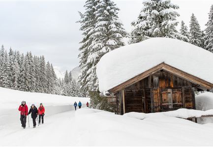
From parking lot P18 'Munde' near the Mundestadl in the Moos district of Leutasch, the marked hiking trail leads through a beautiful forest loop to the cozy Rauthhütte (1,605 m). Since there's a spectacular natural toboggan run from this traditional hut, you can take a sled with you for the way up.

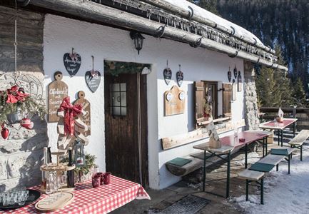
The excellent cuisine at the Rauthhütte has even been awarded by the Gault-Millau gourmet guide and tempts ski tourers, hikers, and sledding guests in the winter months with delicious home-cooked meals and seasonal specialties.

Features & Characteristics

Start Point

Parking lot P18 'Munde'

End Point

Parking lot P18 'Munde'
Similar Tour Suggestions

Weitwandern Etappe 2 Teilnehmer am Weg bei Huette

Hiking

Stage 2: From Leutasch to Mösern – Tyrol’s 1. Winter Multi-day Hike

Length

16,91 km

Duration

05:00 h

Uphill

402 hm

Downhill

324 hm

Altitude

1393 hm

Difficulty

Medium

Open
Drohnenbild Gschwandtkopf und Schanze bei Sonneaufgang.jpg

Hiking

W2: Winter Circular Hike around the mountain Gschwandtkopf

Length

10,50 km

Duration

03:30 h

Uphill

226 hm

Downhill

222 hm

Altitude

1342 hm

Difficulty

Medium

Open
Reitherjoch Alm in Seefeld

Hiking

W32: Winter hiking trail to Reitherjochalm

Length

7,20 km

Duration

03:00 h

Uphill

310 hm

Altitude

1500 hm

Difficulty

Medium

Open
Weitwandern Etappe 3 Winterlandschaft (1).jpg

Hiking

Complete Route for the Tyrol’s 1. Winter Multi-day Hike

Length

48,00 km

Uphill

1000 hm

Downhill

660 hm

Altitude

1400 hm

Difficulty

Medium

Open
Winterwandern-am-Wildmoos-Plateau-(1)_WaLogo.jpg

Hiking

W1: Winter Circular Hike Seefeld-Mösern-Wildmoos

Length

13,00 km

Duration

03:30 h

Uphill

247 hm

Altitude

1333 hm

Difficulty

Medium

Open
Winterwandern im Schnee (1) (3).jpg

Hiking

W21: Winter circular hike Fludertal - Katzenkopf

Length

8,02 km

Duration

02:45 h

Uphill

261 hm

Altitude

1369 hm

Difficulty

Medium

Open
Drohnenaufnahme Reith im Winter - Ortszentrum mit Kirche und Reither Spitze im Hintergrund.jpg

Hiking

W33: Winter circular hike Hölltal

Length

5,00 km

Duration

02:00 h

Uphill

192 hm

Downhill

186 hm

Altitude

1303 hm

Difficulty

Medium

Open
Winterwandern Paar Oberer Wiesenweg Aufnahme von Paar von Hinten laufen neben Zaun (2).jpg

Hiking

Stage 3: Through the Katzenloch to Leutasch – Tyrol’s 1. Winter Multi-day Hike

Length

14,70 km

Duration

04:00 h

Uphill

200 hm

Downhill

290 hm

Altitude

1310 hm

Difficulty

Medium

Open