Start Point

Bus stop "Leutasch Weidach Zentrum"

End Point

Bus stop "Leutasch Weidach Zentrum"

Difficulty

Easy

Total Distance

11,50 km

Descent Meters

111 m

Ascent Meters

108 m

Highest Point

1194 m

Total Time

03:10 h

Map & Elevation Profile

Start Point

Bus stop "Leutasch Weidach Zentrum"

End Point

Bus stop "Leutasch Weidach Zentrum"

Difficulty

Easy

Total Distance

11,50 km

Descent Meters

111 m

Ascent Meters

108 m

Highest Point

1194 m

Total Time

03:10 h

Hiking

Best Time

Jan

Feb

Mar

Apr

May

Jun

Jul

Aug

Sep

Oct

Nov

Dec

Thematic route

Village walks

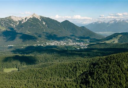
The Leutasch Farm Shop Tour starts in the Weidach district of Leutasch. If you’re arriving by public transport, the best stop to get off at is "Leutasch Weidach Zentrum", from where you can begin the tour. For those arriving by car, parking is available at P10 and P8, just after the bridge from the Weidach Zentrum.

You’ll want to start this culinary tour from farm to farm with an empty backpack that has plenty of space for all kinds of local treats. From Weidach, head along the main road towards the "Gasse" district. At the end of the main road, you’ll reach Pizzeria Al Cavallino. Go right around the building (following the sign towards Mittenwald) and immediately left into the side street. At the end of the street, you'll find the family-run Pichler Bakery, known for its high-quality breads and baked goods—perfect for a picnic you can enjoy at one of the sunny spots along the route.

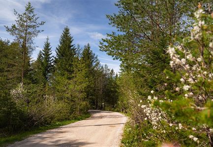
After stocking up on fresh bread (and perhaps a sweet treat), continue along the forest edge towards the Kirchplatzl district. The path takes you behind the Ganghofermuseum and leads

Features & Characteristics

Stamina

Start Point

Bus stop "Leutasch Weidach Zentrum"

End Point

Bus stop "Leutasch Weidach Zentrum"

Loop tour

Yes
Similar Tour Suggestions

Schausäge der Triendlsäge

Hiking

Circular walking path to the Inn Triendlsäge

Length

4,80 km

Duration

01:15 h

Uphill

101 hm

Altitude

1215 hm

Difficulty

Easy

Abendstimmung am Seekirchl in Seefeld im Sommer.jpg

Hiking

Circular walk in the Möserer valley

Length

3,10 km

Duration

00:45 h

Uphill

12 hm

Altitude

1196 hm

Difficulty

Easy

Porta Claudia Scharnitz - Tor mit Weg.jpg

Hiking

Circular hiking trail Porta Claudia

Length

2,50 km

Duration

01:00 h

Uphill

125 hm

Downhill

120 hm

Altitude

1085 hm

Difficulty

Easy

Scharnitz - Wanderung Dorfrunde - Kirche in Scharnitz.jpg

Hiking

Scharnitz cultural hiking trail

Length

3,00 km

Duration

01:00 h

Uphill

53 hm

Altitude

1005 hm

Difficulty

Easy

Bienenlehrpfad Reith - Infotafel am Bienenhotel (1).jpg

Hiking

Hike Bee Nature Trail

Length

2,50 km

Duration

01:00 h

Uphill

72 hm

Altitude

1185 hm

Difficulty

Easy

Blick ueber Wildmoos nach Seefeld.jpg

Hiking

Circular tour around the Brunschkopf

Length

13,10 km

Duration

04:00 h

Uphill

275 hm

Downhill

272 hm

Altitude

1369 hm

Difficulty

Easy

Scharnitz - Wanderung zur Adlerkanzel - Blick auf die Isar.jpg

Hiking

Circular village walk Scharnitz - Gießenbach

Length

6,10 km

Duration

01:30 h

Uphill

42 hm

Altitude

1013 hm

Difficulty

Easy

Scharnitz - Wanderung Dorfrunde - Weg durch den Wald mit blühenden Bäumen.jpg

Hiking

Wheelchair Hike Scharnitz–Gießenbach

Length

7,00 km

Duration

01:50 h

Uphill

40 hm

Altitude

1010 hm

Difficulty

Easy