Start Point

Parking lot P5 'Salzbach' in Gaistal

End Point

Parking lot P5 'Salzbach' in Gaistal

Difficulty

Medium

Total Distance

10,50 km

Descent Meters

600 m

Ascent Meters

600 m

Highest Point

1759 m

Total Time

04:15 h

Map & Elevation Profile

Start Point

Parking lot P5 'Salzbach' in Gaistal

End Point

Parking lot P5 'Salzbach' in Gaistal

Difficulty

Medium

Total Distance

10,50 km

Descent Meters

600 m

Ascent Meters

600 m

Highest Point

1759 m

Total Time

04:15 h

Hiking

Best Time

Jan

Feb

Mar

Apr

May

Jun

Jul

Aug

Sep

Oct

Nov

Dec

Hiking tour

Circular hike

Attention: The Wetterstein Hut remains closed until further notice.

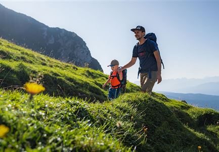
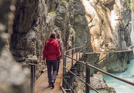
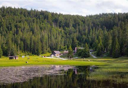
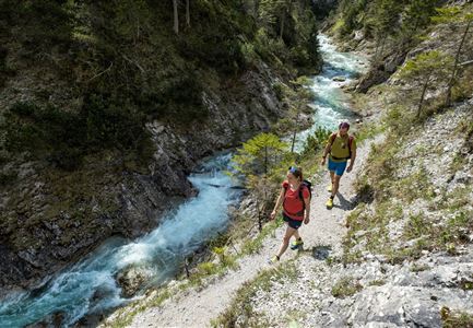
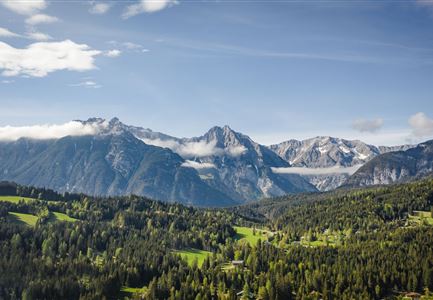
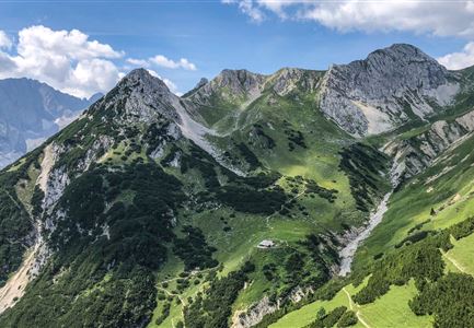
The Pasture Paradise Gaistal Valley truly lives up to its name. Meadows, forests, and the Wetterstein mountains in perfect harmony, lively streams, and top-notch culinary delights make for an unforgettable hiking experience. This route, certified with the Austrian Hiking Seal of Quality, leads you through diverse landscapes to two of the most beautiful alpine huts in the region. And when you happen to meet a grazing cow, a marmot, or even a chamois along the way, the word paradise no longer feels like an exaggeration.

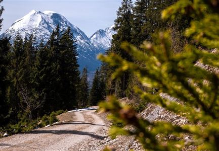
This special tour starts directly at the Stupfer car park, where the trail leads left uphill into the forest. Here’s where you leave behind your daily routine and worries for the next four hours and prepare mentally for the upcoming ascent. You’ll climb about 400 metres towards the impressive rock faces of the Wetterstein mountains. Then you can choose: either take the gentle forest road No. 9 leading directly to the Wangalm, or follow the steeper trail on the left. The latter passes the currently closed Wettersteinhütte, from where it’s just a short walk to the Wangalm. This cosy

Features & Characteristics

Start Point

Parking lot P5 'Salzbach' in Gaistal

End Point

Parking lot P5 'Salzbach' in Gaistal

Family-friendly

Yes

Loop tour

Yes
Videos

Similar Tour Suggestions

Wanderweg zur Hohen Fluder mit Blick Richtung Hohe Munde.jpg

Hiking

Hike Hoher Sattel

Length

10,60 km

Duration

04:00 h

Uphill

524 hm

Altitude

1620 hm

Difficulty

Medium

Familien-Weitwanderung im Gaistal - Vater und Sohn auf schmalem Weg durch grüne Wiese (1).jpg

Hiking

Stage 2: To Rotmoosalm – Leutasch 3-Day Hut Hike for Families

Length

5,00 km

Uphill

400 hm

Downhill

130 hm

Altitude

2132 hm

Difficulty

Medium

Leutascher Geisterklamm - Wasserfallsteig (2).jpg

Hiking

​Hike through the Leutasch Spirit Gorge and to the Waterfall Trail

Length

5,00 km

Duration

02:30 h

Uphill

225 hm

Downhill

221 hm

Altitude

1061 hm

Difficulty

Medium

Wildmoosalm im Sommer - Alm aus der Distanz mit Gewässer im Vordergrund.jpg

Hiking

Circular hiking trail Wildmoos-Hochmoos

Length

10,00 km

Duration

04:00 h

Uphill

437 hm

Altitude

1544 hm

Difficulty

Medium

Durch die Gleirschklamm - Scharnitz (1).jpg

Hiking

Circular hike through the Gleirsch Gorge and over the Zäunlkopf

Length

17,90 km

Duration

06:45 h

Uphill

907 hm

Altitude

1744 hm

Difficulty

Medium

Familien-Weitwanderung im Gaistal - Familie vor Hohe Munde - Alle lächeln.jpg

Hiking

Complete Route for the Leutasch 3-Day Hut Hike for Families

Length

16,20 km

Duration

10:00 h

Uphill

960 hm

Altitude

2132 hm

Difficulty

Medium

Blick auf das Wettersteingebirge mit Neuleutasch im Sommer - Luftaufnahme.jpg

Hiking

Circular hike from Seefeld to Gießenbach & Leutasch

Length

21,50 km

Duration

06:30 h

Uphill

773 hm

Downhill

815 hm

Altitude

1616 hm

Difficulty

Medium

Blick vom Predigtstuhl auf das Steinerne Huettl im Gaistal

Hiking

Bike & Hike to the Steinernes Hüttl alpine hut

Length

19,80 km

Duration

06:00 h

Uphill

980 hm

Altitude

2131 hm

Difficulty

Medium