Start Point

Seefeld bottom station Bergbahnen Rosshütte

End Point

Seefeld bottom station Bergbahnen Rosshütte

Difficulty

Easy

Total Distance

7,00 km

Descent Meters

370 m

Ascent Meters

370 m

Highest Point

1500 m

Total Time

02:30 h

Map & Elevation Profile

Start Point

Seefeld bottom station Bergbahnen Rosshütte

End Point

Seefeld bottom station Bergbahnen Rosshütte

Difficulty

Easy

Total Distance

7,00 km

Descent Meters

370 m

Ascent Meters

370 m

Highest Point

1500 m

Total Time

02:30 h

Hiking

Best Time

Jan

Feb

Mar

Apr

May

Jun

Jul

Aug

Sep

Oct

Nov

Dec

Hiking tour

Circular hike

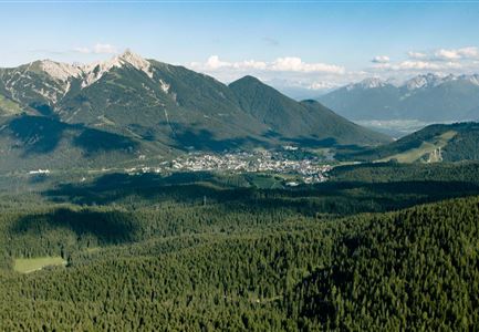
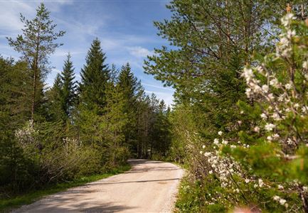
Starting at the car park, walk straight ahead to the far-end of the Hermannstal valley where the Woldrichsteig track branches off to the right. After a short climb, the forest track descends steadily and joins the path coming from the Maximilianhütte. Gently climbing, you follow this path to the hut Reitherjochalm (refreshments available). The quickest way of going back is a fairly steep path down past the Maximilianshütte. Those who want to take it easy should go back along the forest path and remain on the trail coming down the ski slope on the final leg to the funicular car park. The forest path eventually joins the road that leads to the Maximilianhütte, where you cross over the by-pass and turn right back onto the Römerweg to Seefeld.

Notice: The Maximilianhütte is the Ichthyol plant and no alpine hut!

Features & Characteristics

Start Point

Seefeld bottom station Bergbahnen Rosshütte

End Point

Seefeld bottom station Bergbahnen Rosshütte

Family-friendly

Yes

Loop tour

Yes
Similar Tour Suggestions

Schausäge der Triendlsäge

Hiking

Circular walking path to the Inn Triendlsäge

Length

4,80 km

Duration

01:15 h

Uphill

101 hm

Altitude

1215 hm

Difficulty

Easy

Abendstimmung am Seekirchl in Seefeld im Sommer.jpg

Hiking

Circular walk in the Möserer valley

Length

3,10 km

Duration

00:45 h

Uphill

12 hm

Altitude

1196 hm

Difficulty

Easy

Porta Claudia Scharnitz - Tor mit Weg.jpg

Hiking

Circular hiking trail Porta Claudia

Length

2,50 km

Duration

01:00 h

Uphill

125 hm

Downhill

120 hm

Altitude

1085 hm

Difficulty

Easy

Bienenlehrpfad Reith - Infotafel am Bienenhotel (1).jpg

Hiking

Hike Bee Nature Trail

Length

2,50 km

Duration

01:00 h

Uphill

72 hm

Altitude

1185 hm

Difficulty

Easy

Wildmoosalm im Sommer - Hütte mit Kuh.jpg

Hiking

Hike to the Wildmoosalm alpine hut

Length

5,80 km

Duration

01:45 h

Uphill

131 hm

Altitude

1305 hm

Difficulty

Easy

Blick ueber Wildmoos nach Seefeld.jpg

Hiking

Circular tour around the Brunschkopf

Length

13,10 km

Duration

04:00 h

Uphill

275 hm

Downhill

272 hm

Altitude

1369 hm

Difficulty

Easy

Scharnitz - Wanderung zur Adlerkanzel - Blick auf die Isar.jpg

Hiking

Circular village walk Scharnitz - Gießenbach

Length

6,10 km

Duration

01:30 h

Uphill

42 hm

Altitude

1013 hm

Difficulty

Easy

Scharnitz - Wanderung Dorfrunde - Weg durch den Wald mit blühenden Bäumen.jpg

Hiking

Wheelchair Hike Scharnitz–Gießenbach

Length

7,00 km

Duration

01:50 h

Uphill

40 hm

Altitude

1010 hm

Difficulty

Easy