Start Point

Leutasch Schanz

End Point

Leutasch Music Pavilion

Difficulty

Medium

Total Distance

14,20 km

Descent Meters

140 m

Ascent Meters

58 m

Highest Point

1162 m

Total Time

03:30 h

Status

Open

Map & Elevation Profile

Start Point

Leutasch Schanz

End Point

Leutasch Music Pavilion

Difficulty

Medium

Total Distance

14,20 km

Descent Meters

140 m

Ascent Meters

58 m

Highest Point

1162 m

Total Time

03:30 h

Status

Open

Hiking

Best Time

Open

Jan

Feb

Mar

Apr

May

Jun

Jul

Aug

Sep

Oct

Nov

Dec

Winter walking

Multiday hike

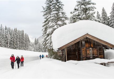
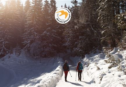
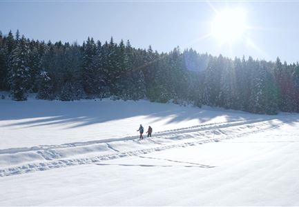
This is a cleared winter hiking trail. However, icy or slippery spots may still occur.

For a multi-day hiking adventure, it’s important to take your time and arrive early. If you come the night before, you can enjoy the atmosphere of the Seefeld Plateau and start the first leg of your journey the next morning, well-rested and full of energy.

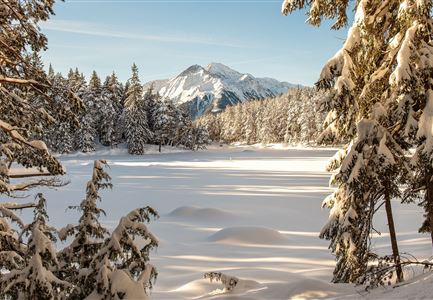
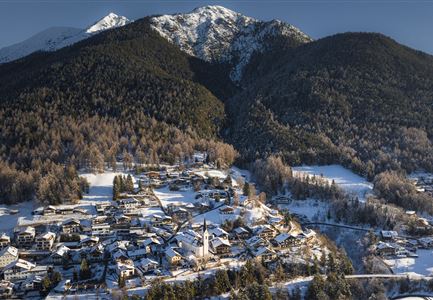
The first section of Tyrol's first long-distance winter hiking trail leads through the picturesque Leutasch Valley. The starting point of the Tyrol’s 1st Winter Multi-day Hike is located in the district of Burggraben. Arrival is possible either by bus to the stop “Burggraben” or by car, approximately 150 metres further in the district of Schanz, where a parking area is available behind the small information hut on the left-hand side. The parking area (limited spaces) is cleared exclusively for guests booked on the Winter Multi-day Hike and requires a parking permit, which will be sent in advance by the information office. The bus stop is located directly opposite the Gasthof zur Mühle. If arriving by car, walk about 150 metres along the main road from the parking area to the Gasthof zur Mühle (Burggraben 264), where you can drop off your

Similar Tour Suggestions

Weitwandern Etappe 2 Teilnehmer am Weg bei Huette

Hiking

Stage 2: From Leutasch to Mösern – Tyrol’s 1. Winter Multi-day Hike

Length

16,91 km

Duration

05:00 h

Uphill

402 hm

Downhill

324 hm

Altitude

1393 hm

Difficulty

Medium

Open
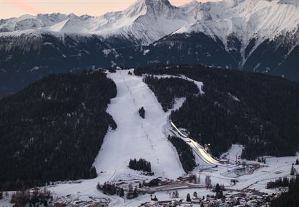
Drohnenbild Gschwandtkopf und Schanze bei Sonneaufgang.jpg

Hiking

W2: Winter Circular Hike around the mountain Gschwandtkopf

Length

10,50 km

Duration

03:30 h

Uphill

226 hm

Downhill

222 hm

Altitude

1342 hm

Difficulty

Medium

Open
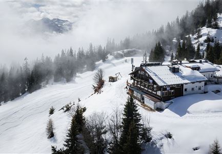
Drohnenaufnahme Rauthhütte - Hütte von der Seite mit nebeligem Inntal.jpg

Hiking

W13: Winter Hike to the Rauthhütte

Length

5,00 km

Duration

03:00 h

Uphill

424 hm

Downhill

418 hm

Altitude

1602 hm

Difficulty

Medium

Open
Reitherjoch Alm in Seefeld

Hiking

W32: Winter hiking trail to Reitherjochalm

Length

7,20 km

Duration

03:00 h

Uphill

310 hm

Altitude

1500 hm

Difficulty

Medium

Open
Weitwandern Etappe 3 Winterlandschaft (1).jpg

Hiking

Complete Route for the Tyrol’s 1. Winter Multi-day Hike

Length

48,00 km

Uphill

1000 hm

Downhill

660 hm

Altitude

1400 hm

Difficulty

Medium

Open
Winterwandern-am-Wildmoos-Plateau-(1)_WaLogo.jpg

Hiking

W1: Winter Circular Hike Seefeld-Mösern-Wildmoos

Length

13,00 km

Duration

03:30 h

Uphill

247 hm

Altitude

1333 hm

Difficulty

Medium

Open
Winterwandern im Schnee (1) (3).jpg

Hiking

W21: Winter circular hike Fludertal - Katzenkopf

Length

8,02 km

Duration

02:45 h

Uphill

261 hm

Altitude

1369 hm

Difficulty

Medium

Open
Drohnenaufnahme Reith im Winter - Ortszentrum mit Kirche und Reither Spitze im Hintergrund.jpg

Hiking

W33: Winter circular hike Hölltal

Length

5,00 km

Duration

02:00 h

Uphill

192 hm

Downhill

186 hm

Altitude

1303 hm

Difficulty

Medium

Open